Telephone: 03300273230
Email: [email protected]

Areas We Cover
London
Birmingham
Leeds
Manchester
Sheffield
Liverpool
Cambridge
Reliable Surveys. Clear Results.
Measured Building & Topographical Surveys
Powered by 3D Laser Scanning

Residential, Commercial, Heritage and Development Projects
Precisely Measured. Professionally Documented.
Measured Surveys
Topographical Surveys
Laser Scanning
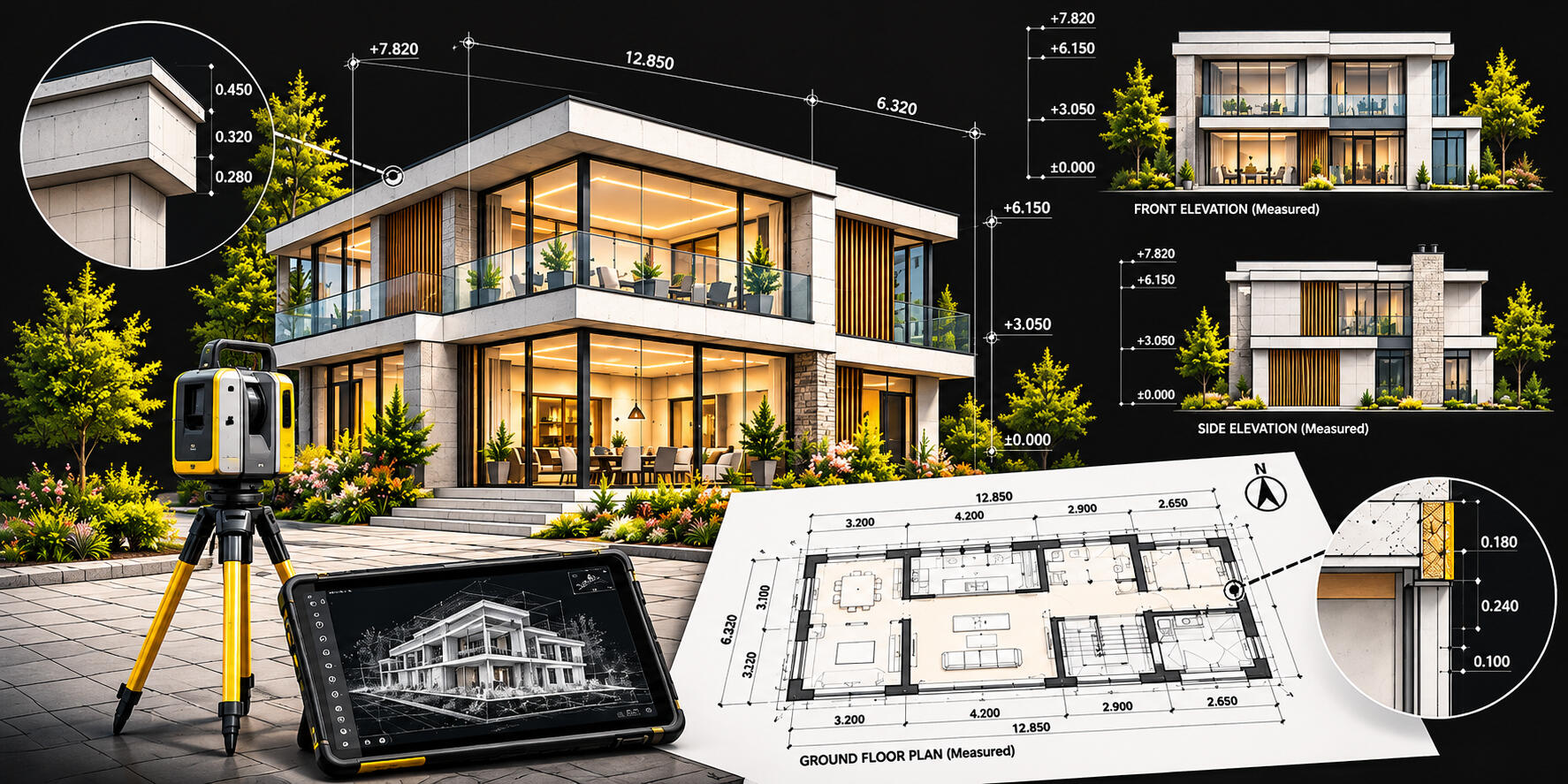
Detailed property surveys capture the precise dimensions and layout of existing buildings, including structural elements and architectural features. Accurate survey information provides a dependable basis for refurbishment, planning and design projects.
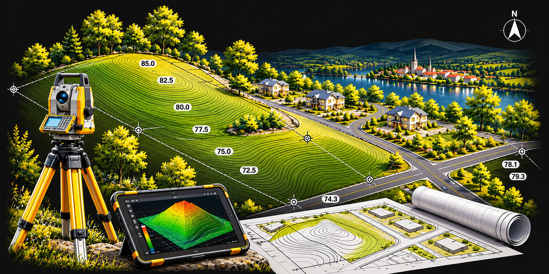
Comprehensive land surveys capture ground levels, site boundaries, natural features and surrounding infrastructure. Reliable topographical data helps project teams assess site conditions and make informed decisions throughout the planning and development process.
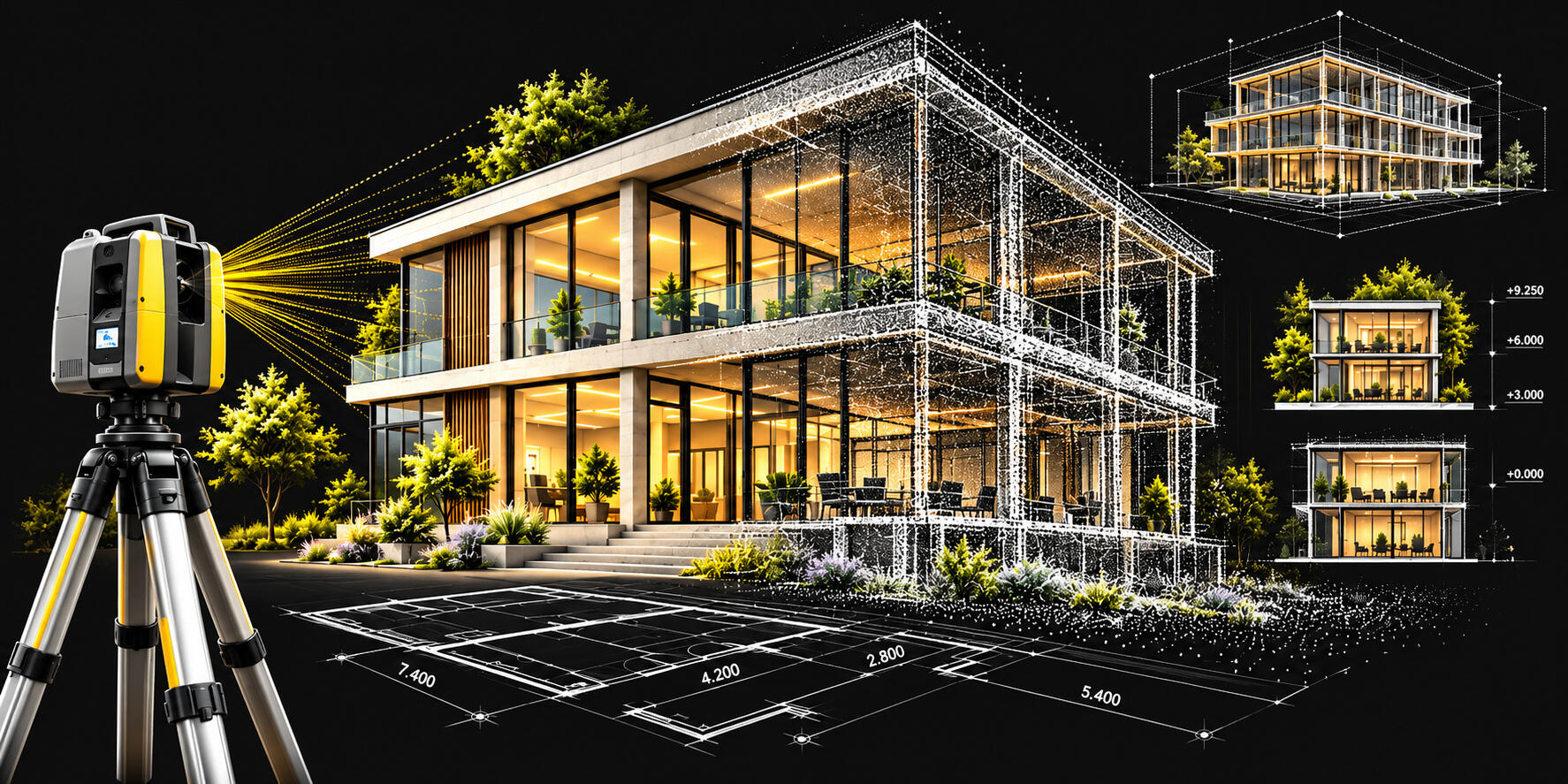
Advanced laser scanning technology captures millions of precise measurement points to create detailed digital representations of existing structures. High-resolution scan data supports accurate modelling, coordination and efficient project delivery.
Thermal Imaging
CAD Drawings
Area Reports (NIA, GIA, GEA)
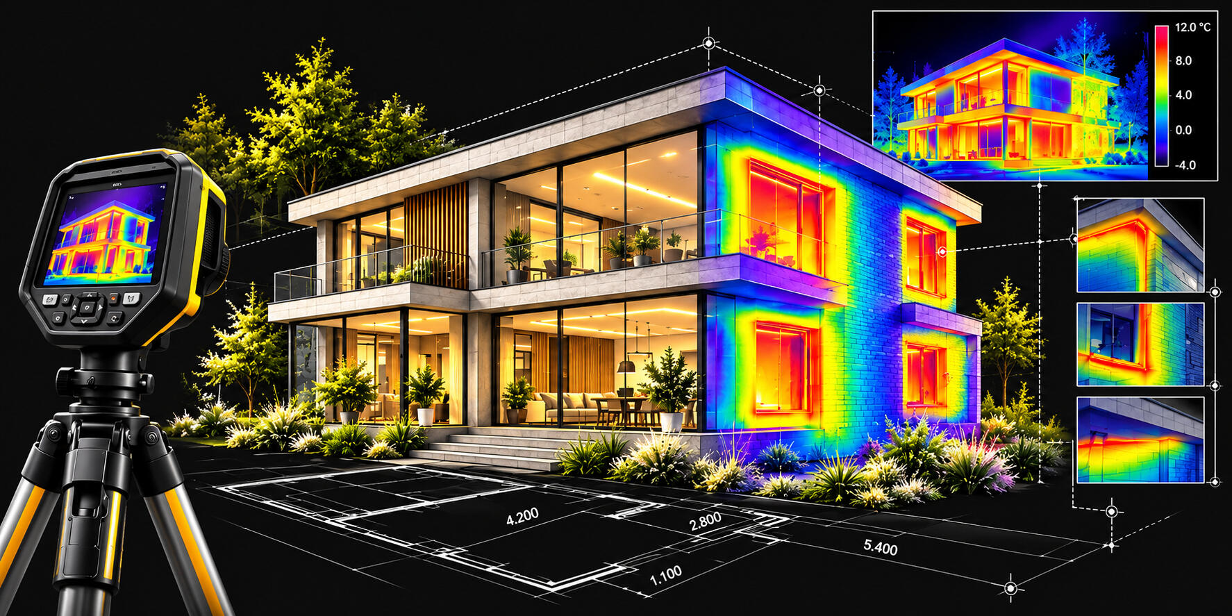
Specialist thermal surveys reveal temperature variations across building surfaces, helping identify heat loss, insulation defects and potential moisture problems. Detailed thermal assessments provide valuable insight into building performance and energy efficiency.
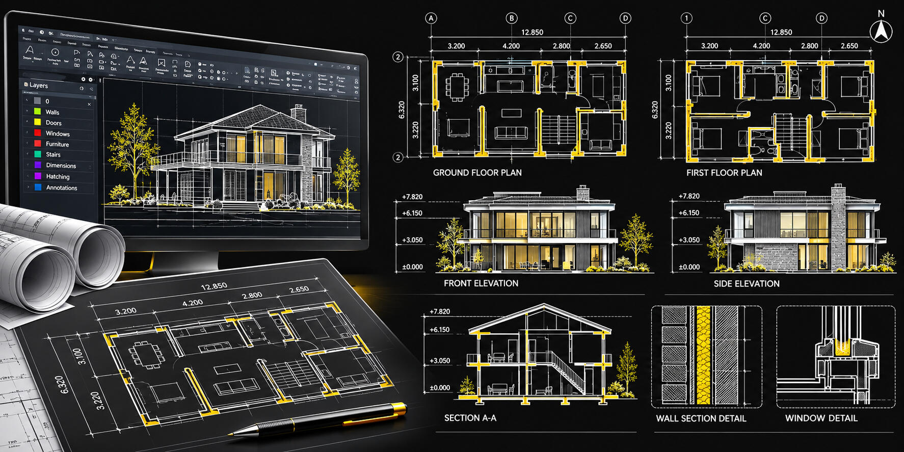
Professional CAD documentation transforms measured survey data into accurate technical drawings and detailed digital plans. Clear architectural layouts, elevations and sections support design development, project coordination and construction activities.
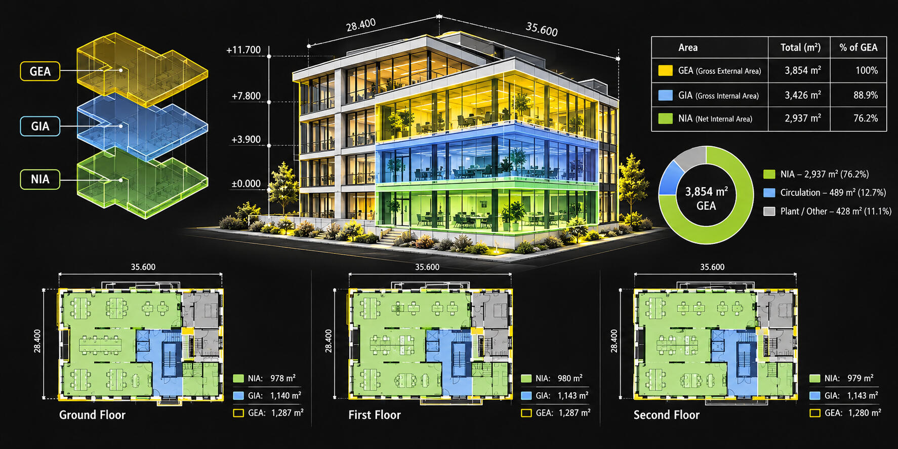
Detailed area assessments provide accurate floor space calculations using recognised measurement standards. Reports covering NIA, GIA and GEA offer essential property information for valuations, space planning, commercial assessments and development decisions.
Floor Flatness Reports
As-Built Surveys
Floor Plans & Elevations
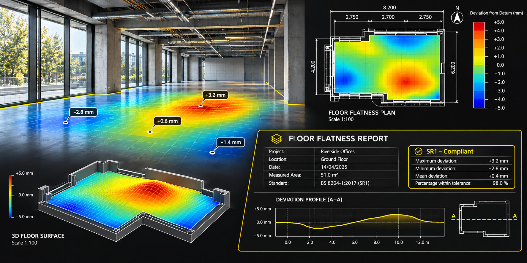
Precision floor surveys assess surface levels and identify irregularities across concrete and finished flooring. Detailed measurement reports highlight deviations from required tolerances, helping ensure surface quality, accurate installation and compliance with project specifications.
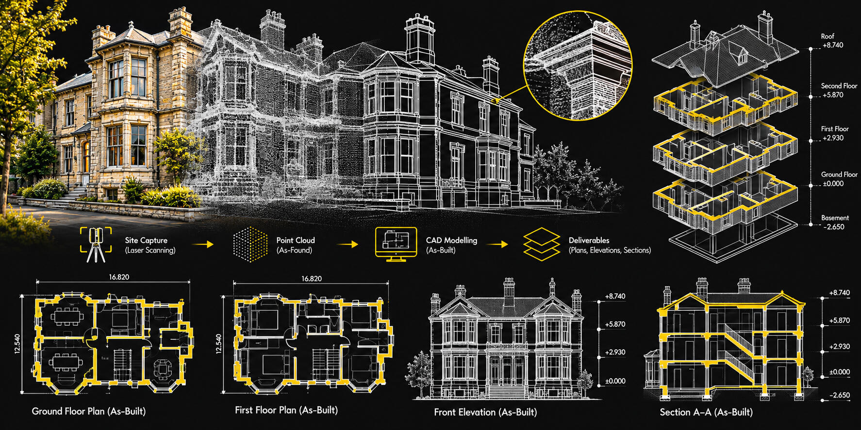
Comprehensive as-built documentation records the actual dimensions, configuration and features of completed buildings. Accurate drawings reflect existing site conditions and provide a reliable reference for future alterations, refurbishment and facilities management.
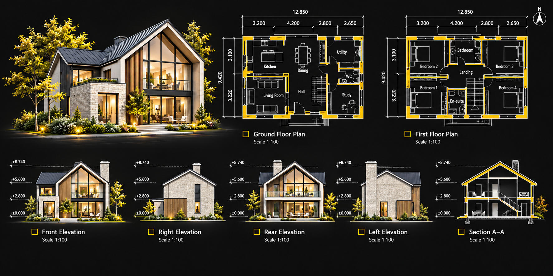
Detailed architectural drawings illustrate internal layouts, external elevations and key building dimensions. Professionally prepared plans provide a clear understanding of spatial arrangements and structural features, supporting design, renovation and construction projects.

Technical Expertise. Built for Precision.
Telephone: 03300 273230 | Email: [email protected]
© 2026 YellowLaab · All Rights Reserved.